Pre-trip: the Route and Plan
North to parts of the Pilbara – specifically Karijini – as the first target, then move over further east to the Kimberley’s and the Gibbs River Road as the main focus of the trip with Kununurra as the endpoint. The initial plan was to leave the travelling rig in Kununurra at the end of this trip for later continuation onwards to Alice Springs and then on to the East Coast. The plan changed…
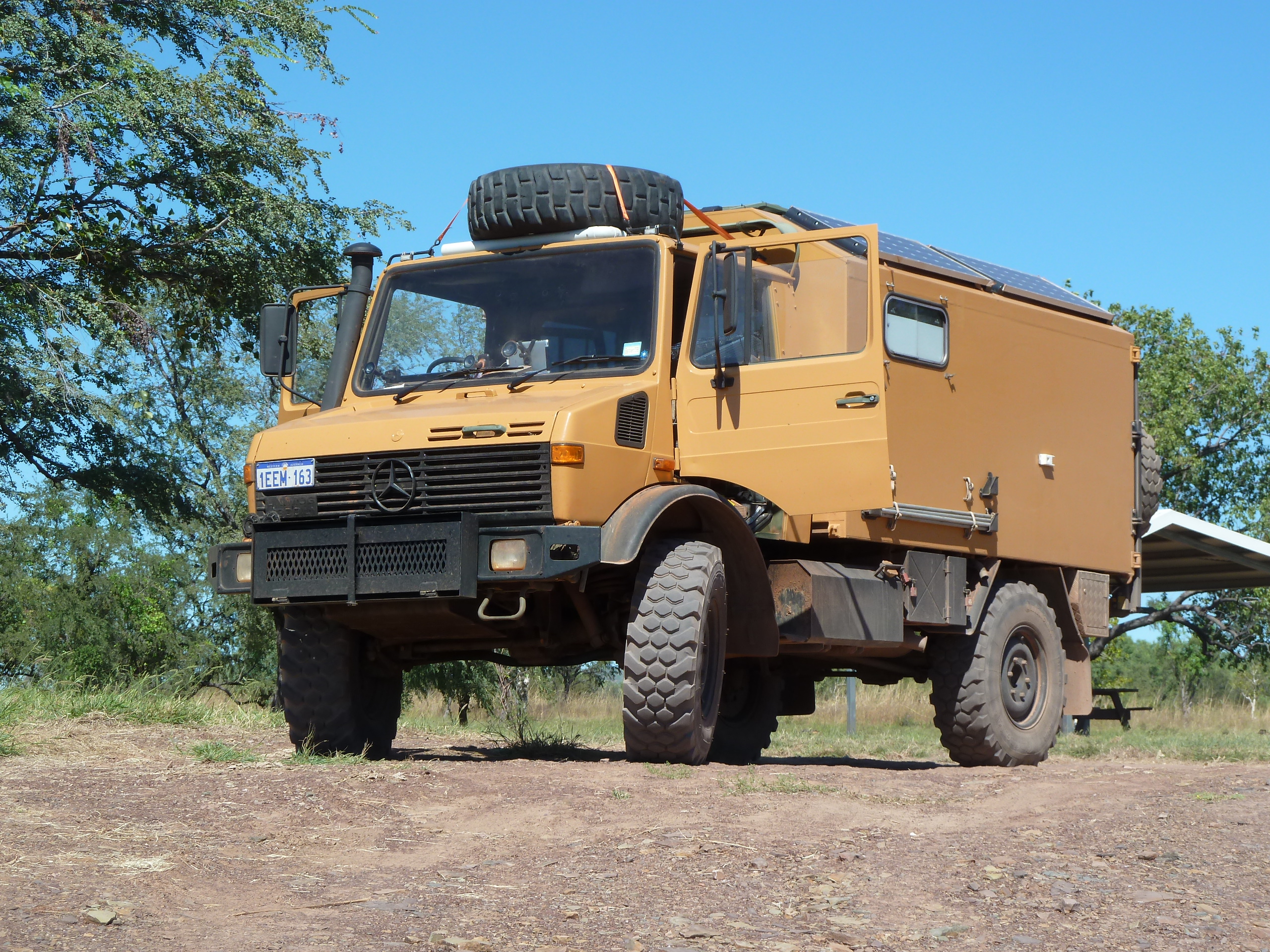
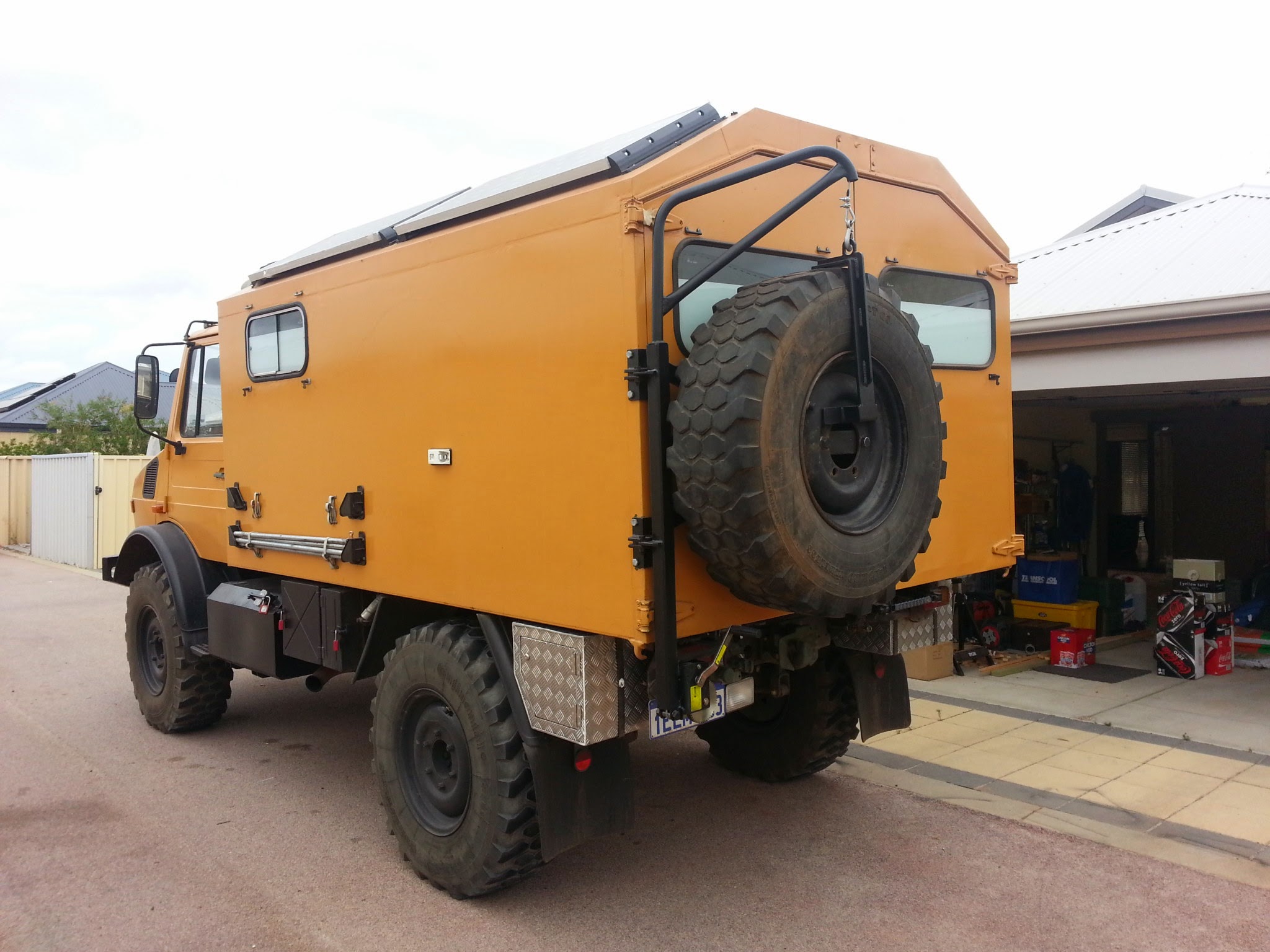
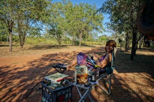
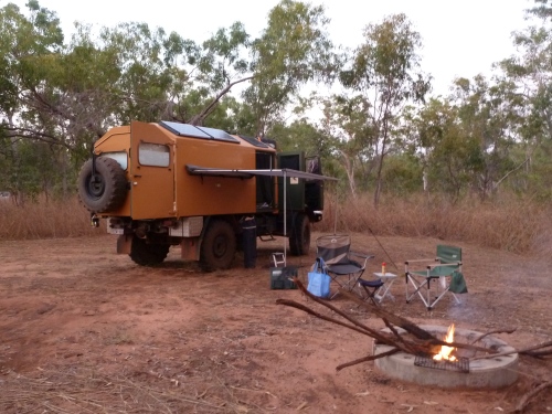
The camping rig got a few additions specifically for this trip although we have been steadily building her into a camper over a period of six months (over weekends). The additions related mostly to carry-along spares and tools as she’s big (7.5 ton) and old (30 years) with neither the size of the tools nor any spares being readily available along the road. In fact, any Unimog spare parts of significance are unobtainium in Australia and needs to be sourced from Europe. The main addition, considering the distances we’ll have to travel was the fitment of a Claas Overdrive giving a choice/combination of higher speed or lower engine revolutions (less noise).
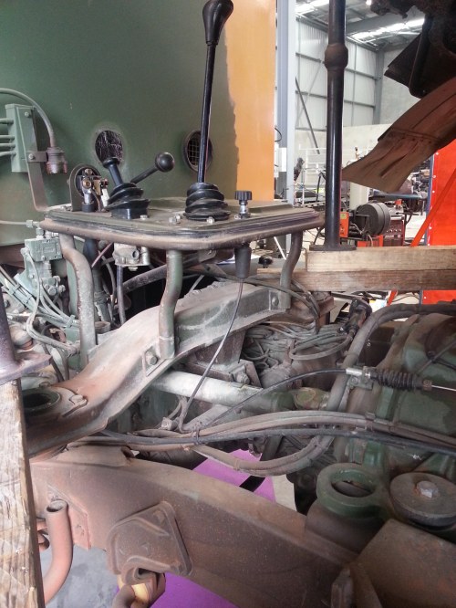
The Claas gearbox went somewhere in there
The Gibbs River Road (GRR) finally opened for the 2014 season on 17 April (the day we departed from Perth) with the road to Mitchell’s Falls expected to only open on 30 April.
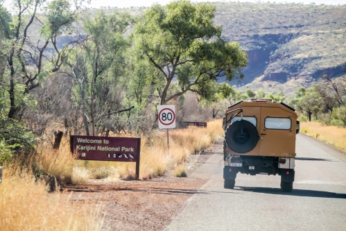
Part 1 – Pilbara (Karijini / Wittenoom / Woodstock-Hillside Rd / Marble Bar / Shay Gap)
Approx 1,500 km to get to Karijini. At Unimog speed this takes a while. For us an evening run after work on Thu to get some 2 hours north of Perth and then another day-and-a-half+ to the western end of the Karijini NP (the Eco Retreat campground). Overnights were free camping along/off the Great Northern Highway, north of Manning for night 1 and at the Gascoyne River (south) for the second. With daytime temperatures around 38 deg.C it was pretty hot in our non air conditioned style of travelling.
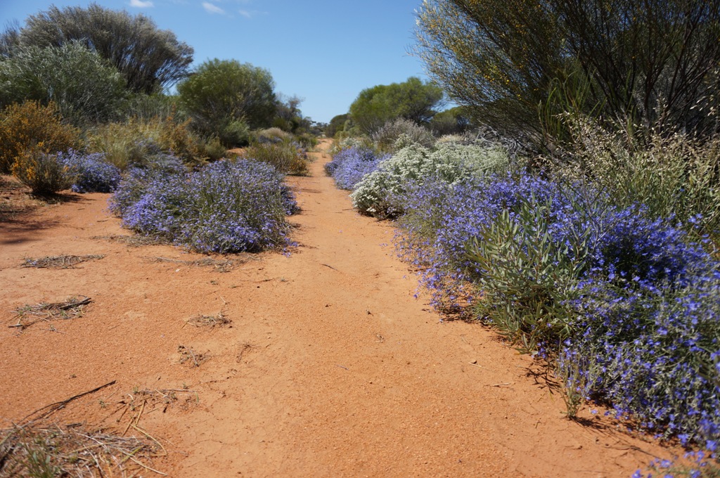
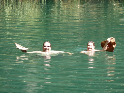
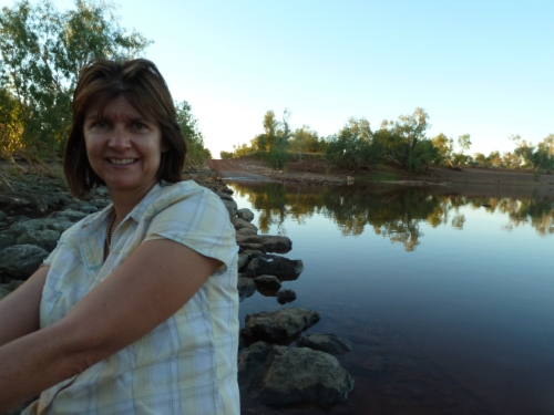
Karijini was once again great. More busy than I expected (but it was the easter weekend/holiday). Day 1 exploring Weeno Gorge down to Kermit Pool and the second to the eastern end of the park at Fortesque Falls with most of this day spent at Fern Pool. Very relaxed and spending time with friends doing the Karijini part of the trip with us. Having been to Karijini previously we had no compulsion to go and visit every possible gorge and pool in the park which can take a number of days if you want to do it at a leisurely pace.
Someone has a (Unimog) sense of humour…80 yea
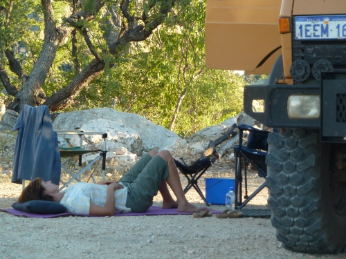
Karijini Travel Mates
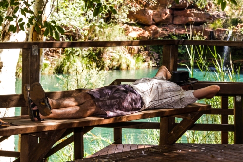
Chilled @ Fern Pools
The next day we parted ways with our travelling companions whom were heading to the west coast and then turned north and circled back to Wittenoom where we spent a relaxed afternoon in a “private” pool along the river (hardly anybody visits Wittenoom Gorge) and camped out the night at the very same spot. Notably, we drove around 160 km to get to this point which is only some 5 km north of the Eco Retreat where we were staying the previous night.
Nobody @ Wittenoom
Wittenoom – Did not meet any…
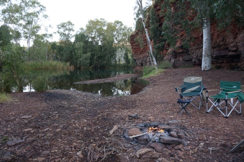
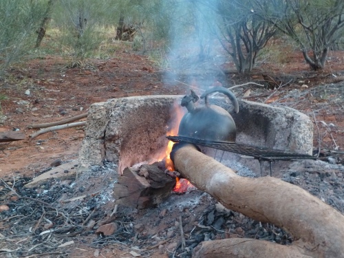
There was a tentative plan to continue further north to the Millstream NP but the next day we turned east and then north onto the road to Port Hedland. Having no desire to visit PH we then turned east onto dirt roads, crossed the iron ore railroads near the Woodstock Station/Community and travelled along the Woodstock-Hillside Rd (not a frequently travelled “road” by any measure), and then turned NE to Marble Bar where we arrived not having seen another vehicle for the entire distance from Woodstock. It was another hot day and we raided the local store for ice lollies (Lifesavers ha ha). Further north along immaculate asphalt and then east along the Bamboo Creek Rd (a dirt roadtrain haul road) turning north again onto the (dirt) Muccan Shay Gap Rd where we ran out of daylight at the De Grey River crossing where we spent a delightfully quiet evening and night along the river with another good camp fire.
DeGrey River X’ing- Shay Gap
DeGrey River – Camping spot Shay Gap
Part 1B took us to 80 Mile Beach for the next night (all of 140 km for this extremely relaxing day) and then on to Broom for restocking. It was cooking, temperature and humidity wise, in Broome. It always is…
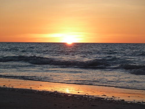
80 Mile Beach
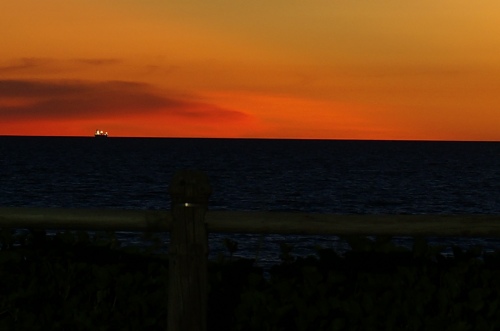
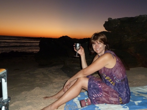
Broome – Cable Beach
Part 2 – Kimberleys and the Gibb River Road
The GRR starts at Derby and after restocking in Broom shops during the morning and it being another scorcher of a day we stopped at a Derby pub for a couple of hours of aircon goodness before moving onto the GRR at close to dusk where we spent the first night at Birdwood Downs Stn (250 km for the day…)
Birdswood Downs Campsite
We’ve only had intermittent cell/internet coms so far (when passing through towns) but now it is all gone and will be for the next 10+ days.
Departing the next morning we are run off the road (development standard at this end of the GRR) within the first 15 minutes by an oncoming roadtrain carrying prime Kimberley beef. Early wakeup call – they are big and heavy and do not deviate from the center of the road!
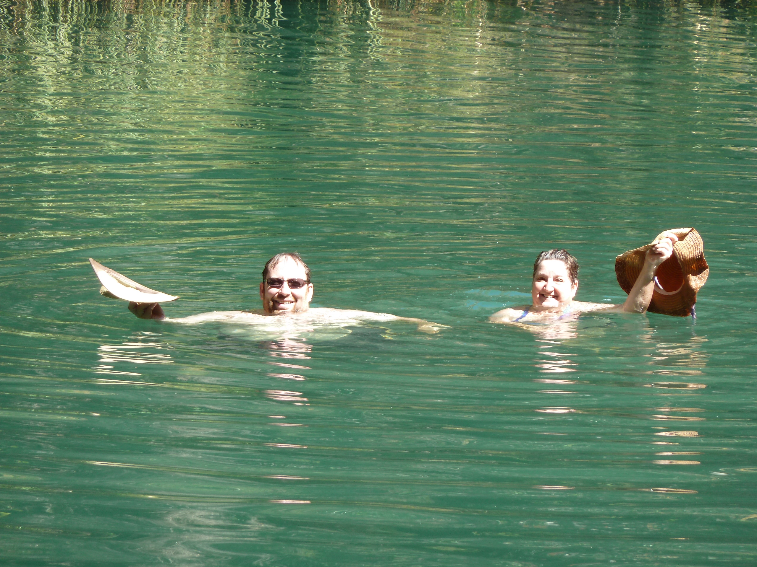
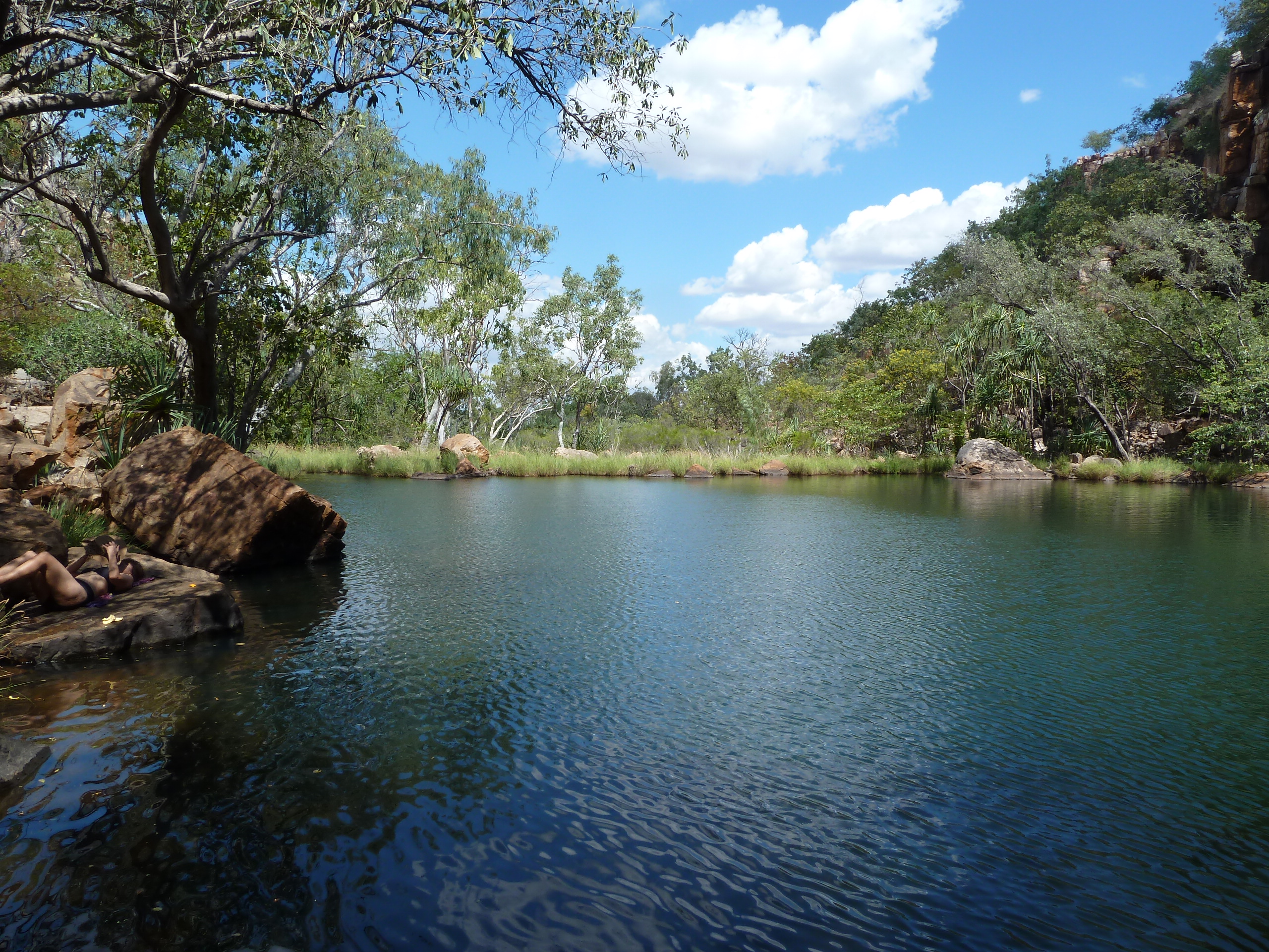
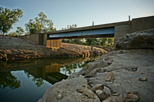
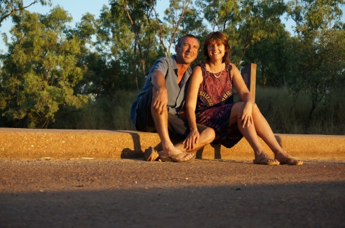
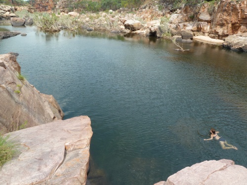
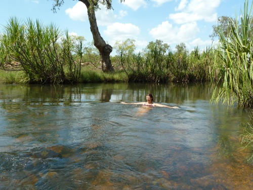
With no particular destination in mind we travel on to the Lennard River X’sing (100 kms) where we find some locals from the surrounding pastoral stations having a swim and chilling out their Sunday break. Windjana Gorge is only some 30 km upstream/south from here and the Lennard River is croc infested at that location but hell – there were plenty of swimming targets for the crocs so we joined in (carefully) and spent the afternoon and also the night free camping in this magic spot conversing alongside the evening campfire with fellow travellers and road maintenance workers (grass slashing) from the three other vehicles present for the night.
Lennard River X’ing
Braving oncoming traffic – Lennard River X’ing
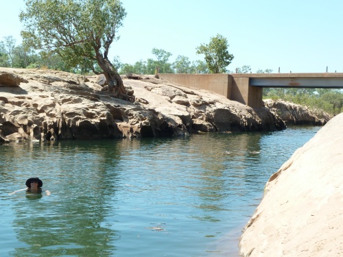
Swimming with ? – Lennard River X’ing
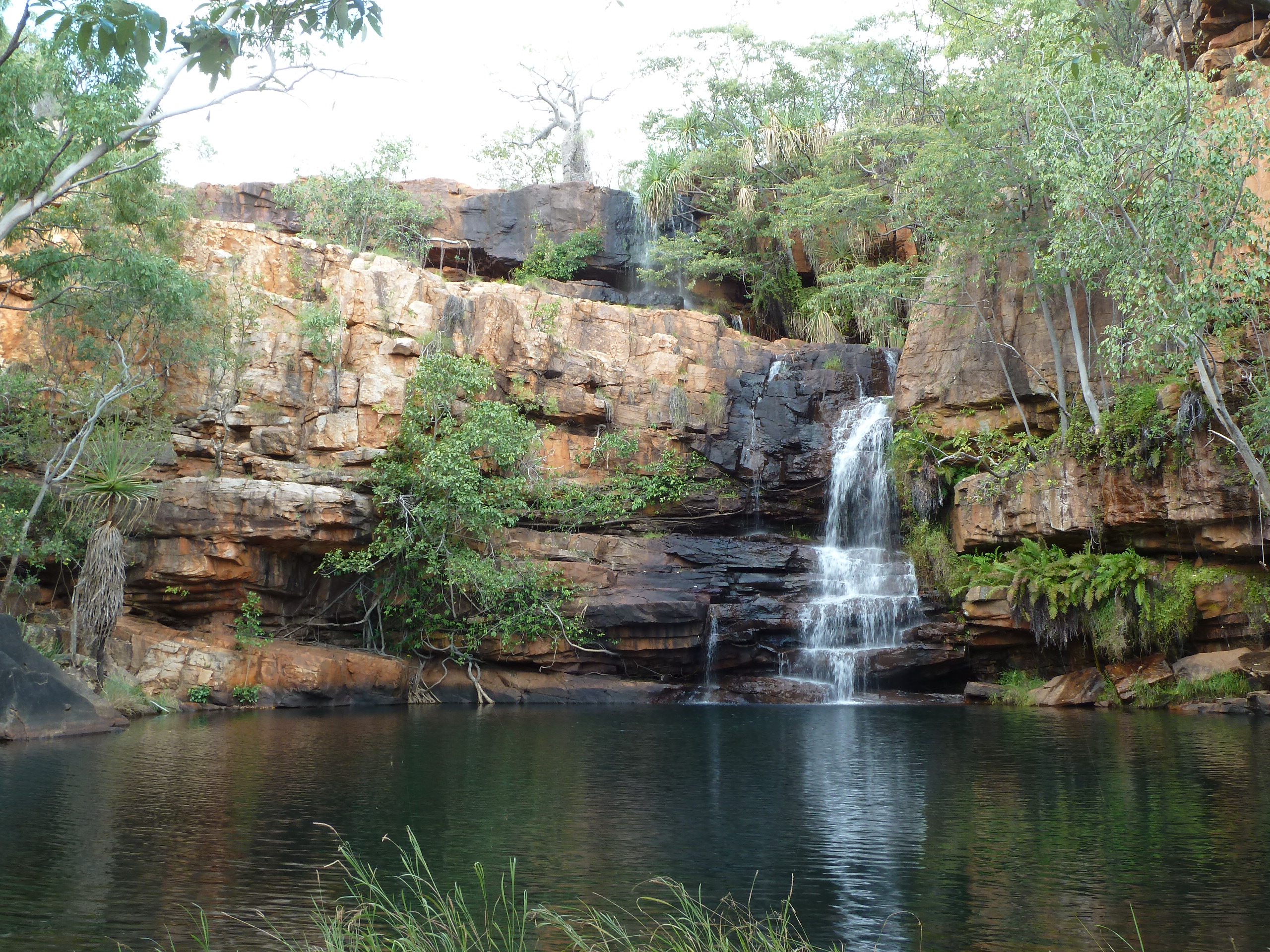
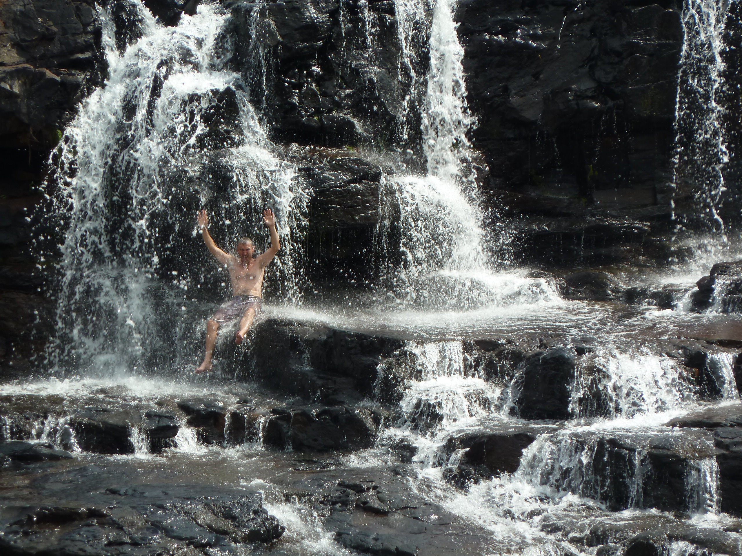
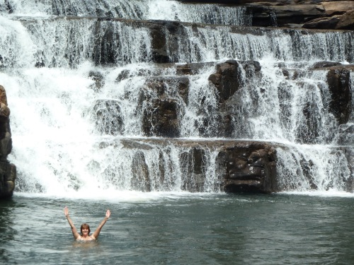
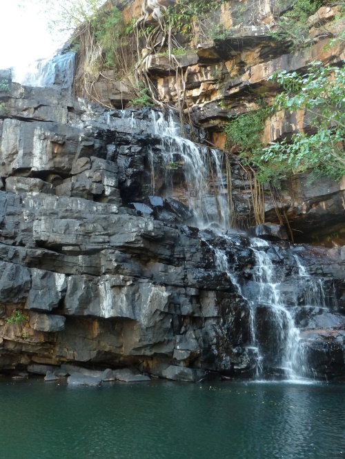
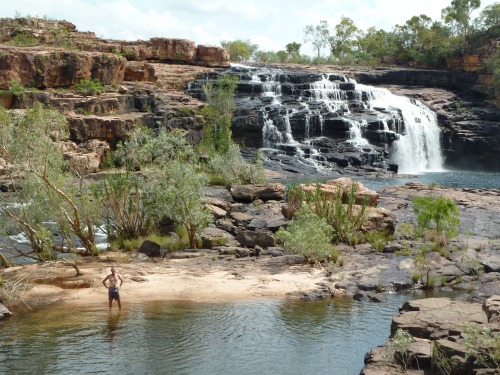
Another non-stressful driving day (130 km) on to Bell Gorge which is some 30 km off the main road and a 1 km hike to get down to the bottom of the falls. We were the only people there at the time and it being (still) hot we spent a fair amount of time swimming below the falls. One of the most visited/famous of the GRR waterfalls it did not disappoint.

Bell Falls
Bell Falls – Yea

Bell Falls – Real close
The closest official overnight spot is Silent Grove some 10 km back along the side road to Bell Gorge which is where we parked up for the night. Some thunder and lightning for nighttime entertainment. No rain yet but from here onwards the very high 30 deg.C’s progressively mitigated into much more bearable mid 30’s.
Being used to long daily distance travelling by now 🙂 we drove 120 km’s to our next overnight stop at Manning Gorge (Barnett River Stn/Roadhouse). Along the way we deviated off the road at Adcock Gorge and Galvans Gorge. Adcock Gorge is one of the least visited Falls along the GRR and a real beaut.
Adcock Falls – Upstream

Adcock Falls – Downstream

Galvans Falls
The riverside campground at Barnett River Stn was mostly empty with some 4 vehicles present for the night. The seasonal camp caretaker was telling us that in peak season there would be upwards of 400 people staying overnight (the caretaker at Silent Grove told us the same thing). Our timing for the GRR was perfect it would seem as we caught the gap between the road opening for the season (highly variable timing depending on the severity of the summer rainy season) and the 1st of May which is when the majority of the Stations and more luxurious accommodation options (and the tour busses) start operating, weather and road opening times permitting. It was still April at this time.
Swimming pool @ Mt Barnett campground
Checking out the locals – to the right
To the right – swimming with the locals
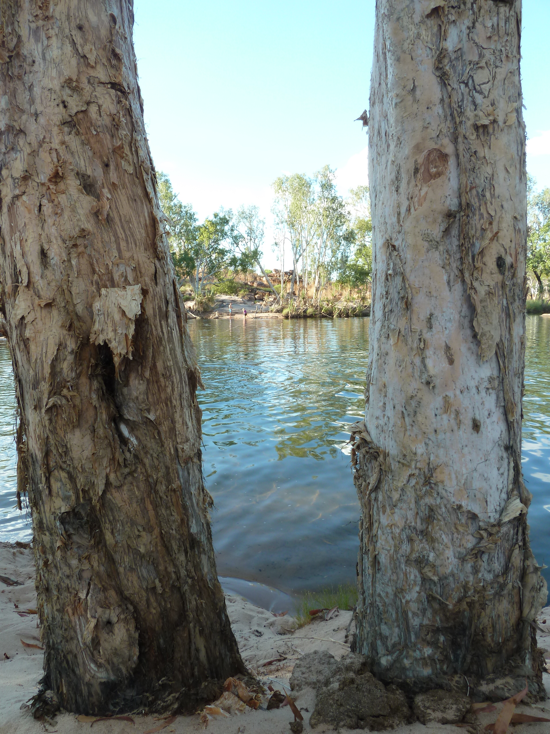
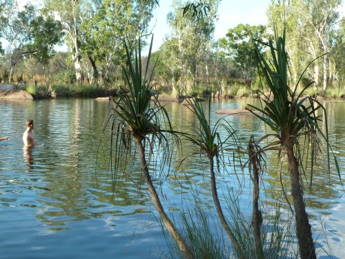
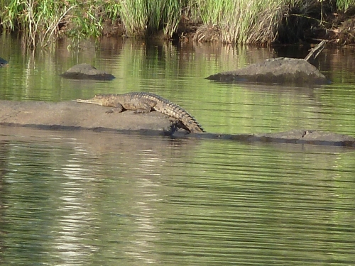
The hike out to Manning Gorge (and back) was signposted to take upwards of 3 hours so we spent the afternoon doing nothing at the river adjacent to the campground. White sandy beach, ice chilled white wine and a few fresh water crocs sunning themselves on the rocks some 30m downstream from where we were swimming and sitting up to our necks in the refreshingly cool and deep water. Perfect combination.
The next morning we figured quite rightly that everyone else (not that many obviously) would be heading off to Manning Gorge early, so we did not. By the time we got to the Gorge and the (magnificent) waterfall everyone else had left and we had it all to ourselves. Being only semi-grey nomads it took us less than 2 hours of hiking for the round trip which left us plenty of time to enjoy the falls and the downstream pools in solitude. We stayed a second night at this campground…being super fit (ha) has its limits. This night we received a sprinkling of rain to accompany the lighting and distant thunder.
Manning Gorge approach

Manning Gorge approaching closer
Manning Gorge as close as you can get
Manning Gorge – slightly downstream
Next target is Mitchell’s Falls but that requires quite a drive and the GRR is starting to live up to its “bad road” reputation… The road condition was pretty much what it was at the end of the previous dry season but “dampened” by the rain during the “wet”. The so-called “opening grade” only smoothed the severe washouts so the going is fairly slow. Around 200 km for the day to Drysdale Stn where we fill up with diesel and stay the night at Miners Pool (2 vehicles and 3 people in a campground the size of which could easily accommodate 500+ people).
Miners Pools – Drysdale Stn
A small note on fuel pricing along the GRR… its expensive! At peak pricing (Mt Barnett) diesel came at a >50% premium compared to Perth prices.
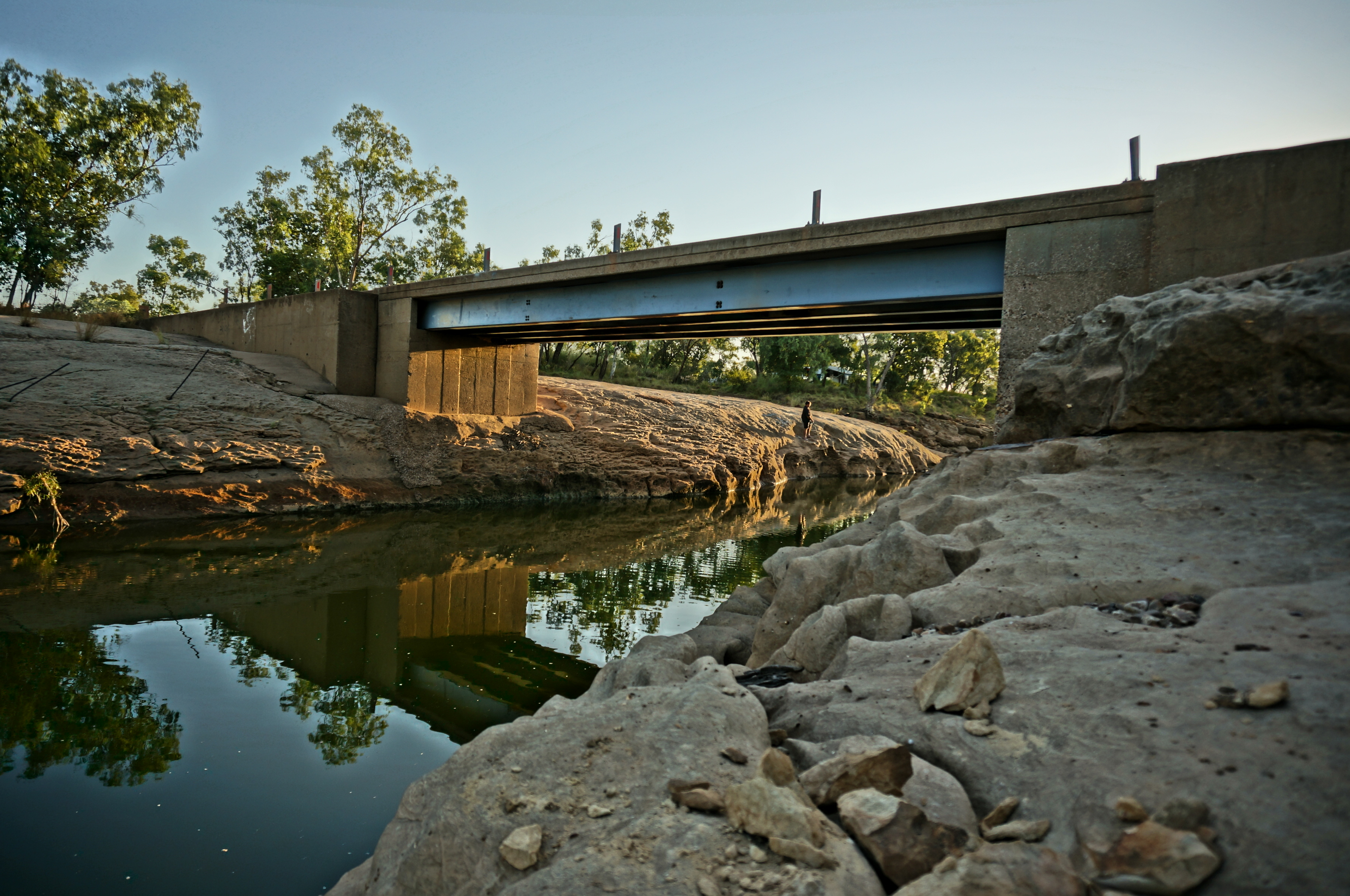
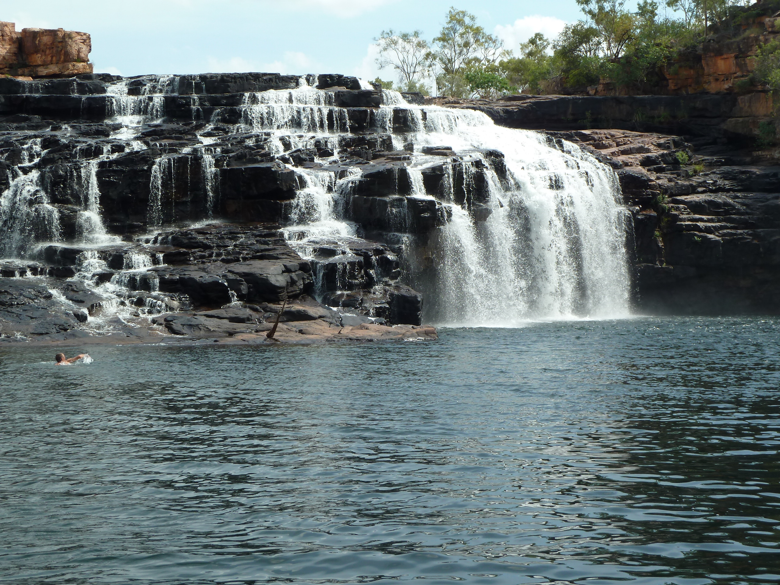
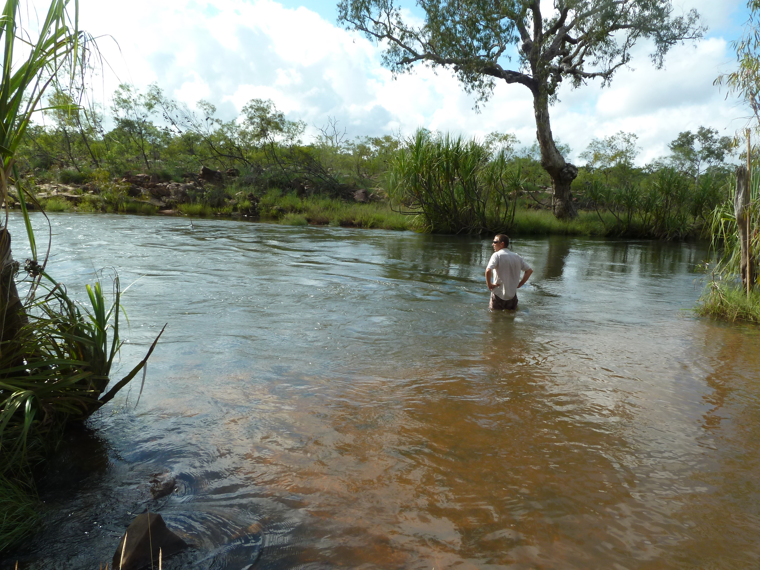
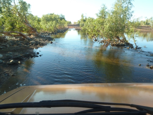
Fellow travellers we met at the Drysdale fuel pump advised 4.5 hours travel time for the 190 km section to Mitchell’s Falls. It took us 6 hours (5 hrs of driving) to get there the next day with 3 hours spent on the last 80 km’s. The river x’sing at the King Edward River was around 1 m deep but flowing strong. We spent a bit of time cooling down in the water at this location.
King Edward River X’ing
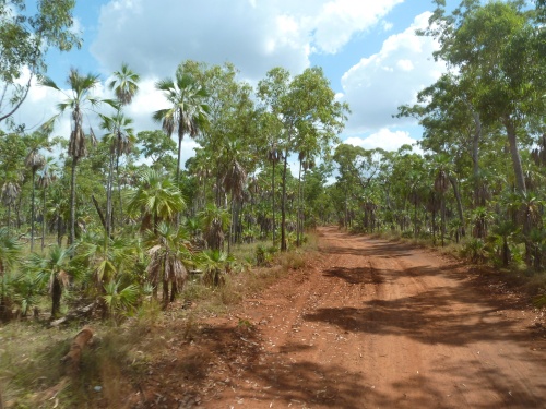
Road to Mitchell’s Falls
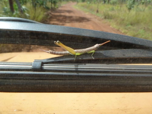
Fellow traveller
The Mitchell Falls campground was as advertised. Nice camping areas and well equipped but rather noisy with the helicopter taxi service for the lazy/rich/infirm located right next door to the campground. We spent the early afternoon in the pools on top of Little Merten Falls and the late afternoon being drenched with rain while attempting the sundowner viewpoint hike. The rain let up long enough for an early evening BBQ fire and then continued for most of the night.
Mitchell Falls campground – proof that we used the awning (once)
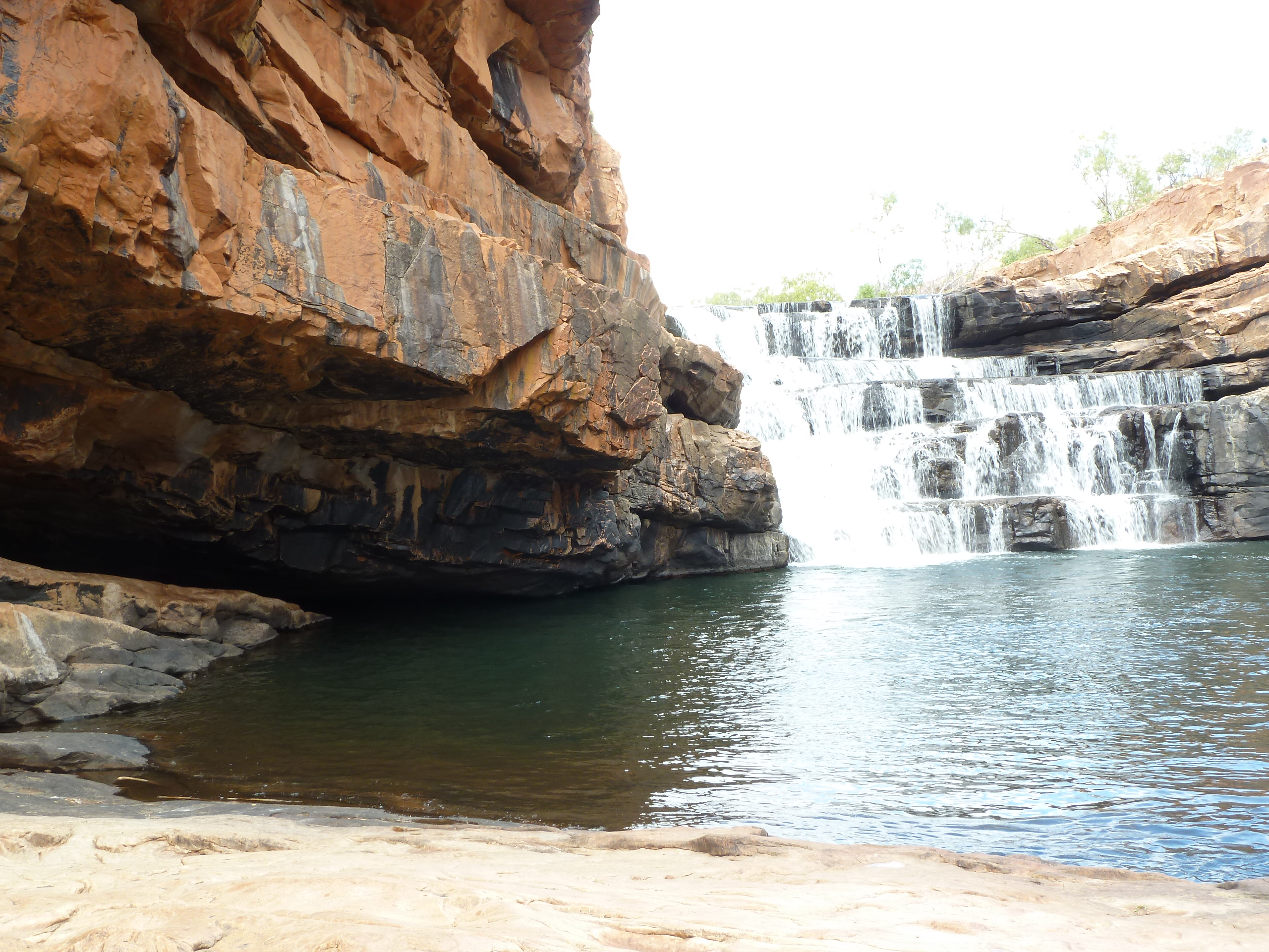
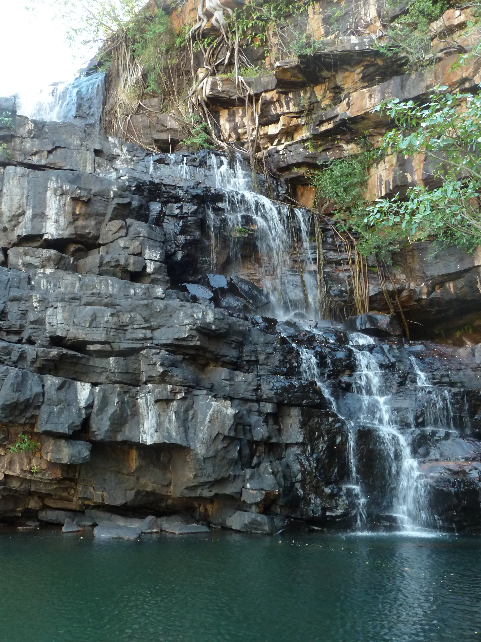
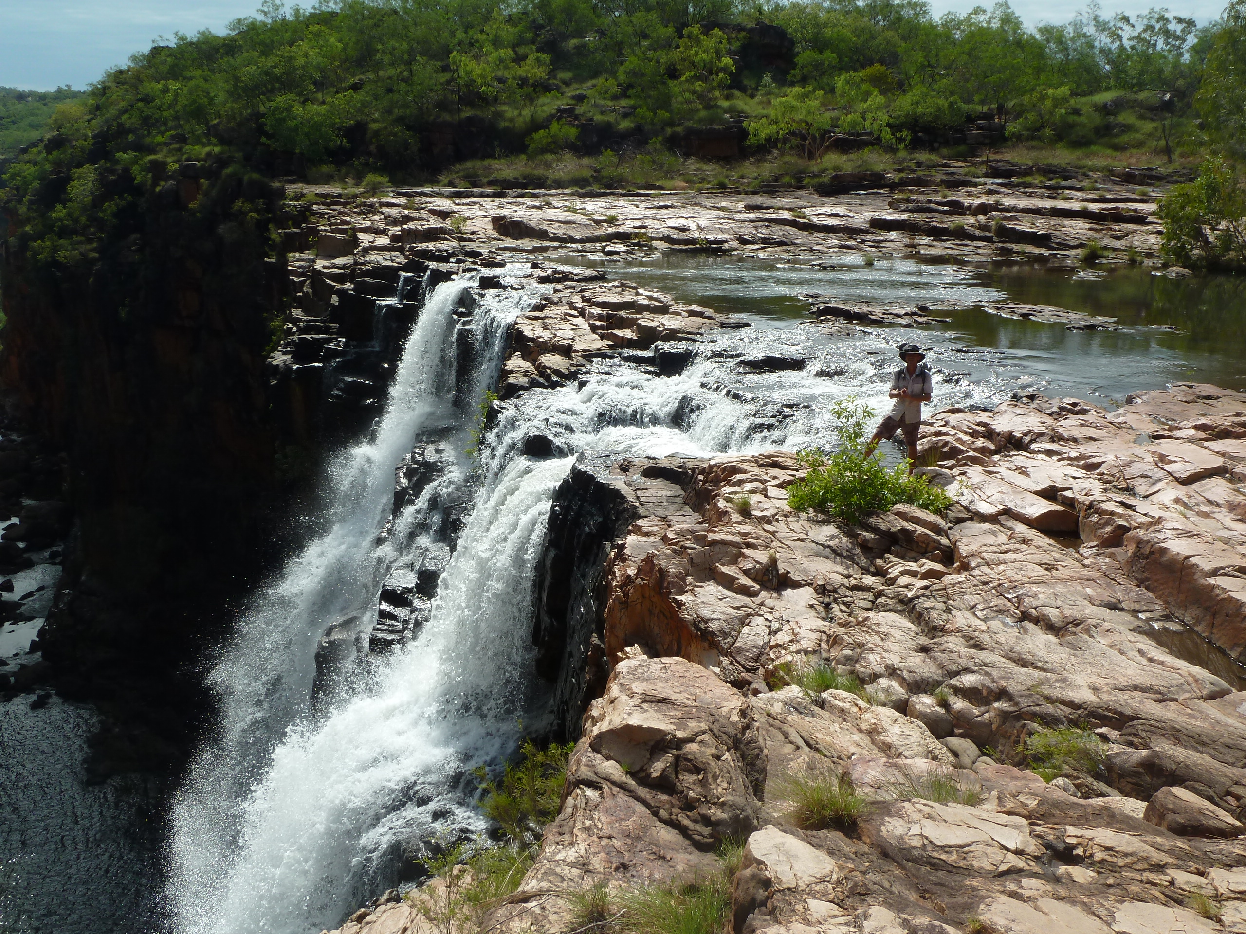
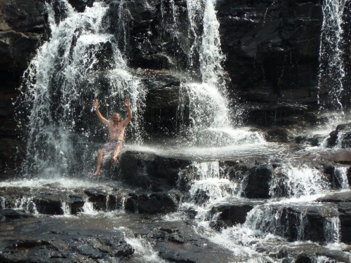
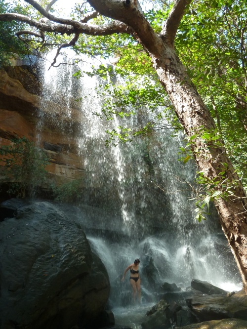
The hike out to Mitchell’s Falls is much shorter and less arduous than is generally reported (it being fresh and cool after the overnight rain may have something to do with our perception). The footpath river crossing over the top of Merten’s Falls is spectacular and will certainly not be “allowed” in terms of any 1’st tier mining company regulations… The river above Mitchell’s Falls was way too high in level and flow to cross safely so we were confined to the southern side, but we did manage to bush-bash our way along the rock cliffs to get some good views of the series of falls. Spectacular… On the way back we spent hours below (and behind) Little Merten’s Falls. The day culminated with another peaceful evening with a good campfire accompanied by thunder and lightning but only an occasional sprinkling of light rain.
Mertens Falls – en route to Mitchell’s
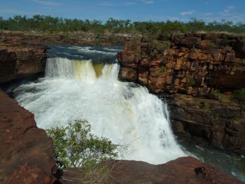
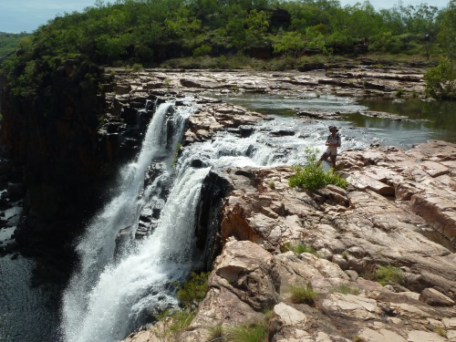
Mitchell’s Falls downstream
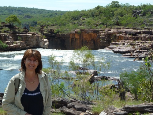
Mitchell’s Falls upstream
Little Mertens Falls
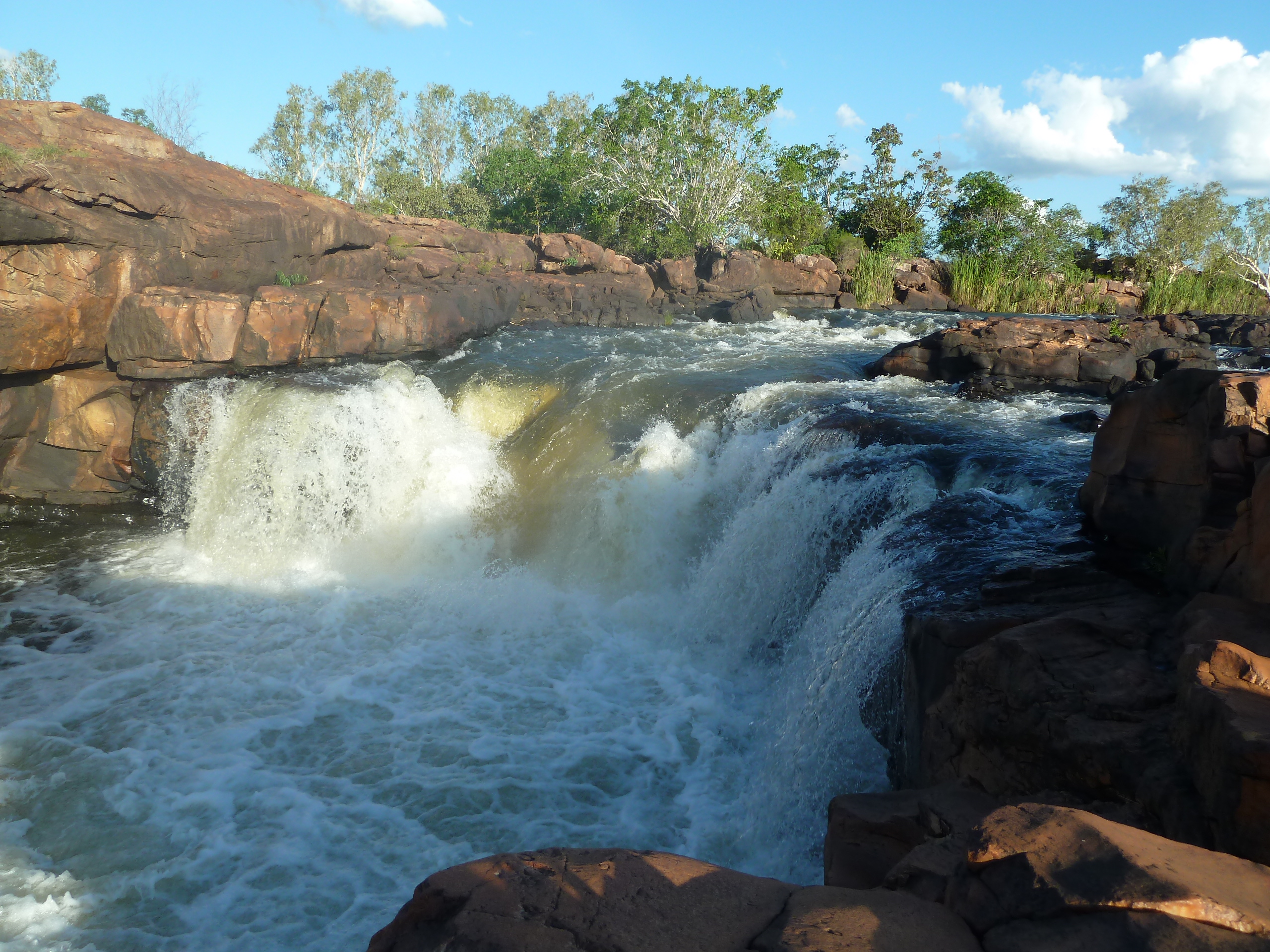
The next day (outward bound from Mitchell’s) was interesting. The road inward was corrugated, rocky and had large patches of bulldust. The road out was corrugated, rocky but now with large stretches of water, some of it quite deep. We only had to get to the King Edward River campsite (~80 km) but once again it took more than 3 hours. Arriving there we found 1 solidary vehicle, our neighbour from the previous night, whom reported several parties stuck at the river crossing, unable to cross due to the high water level – and that the area had a >100 mm drenching during the night. The campground was certainly soaked and the ground very spongy. The afternoon was spent relaxing and exploring downstream from the strong flowing waterfall, followed by a (you’ve guessed it) BBQ camp fire.
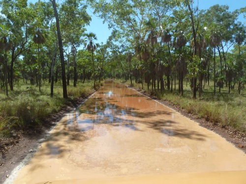
The “road” out

King Edward River Falls – we have to cross the river tomorrow…
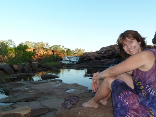
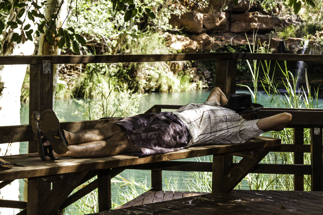
Chilled
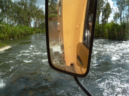
By the time we left in the morning at a civilised hour (~9 am) the water level in the river had not changed significantly from the previous day and we expected to find the vehicles reported to be attempting the crossover from the previous day to be still stranded at the crossing. They were not, but there was a row of around 8 vehicles on the other side, contemplating but not yet committed to crossing over to “our” side. After we crossed without trouble they all succeeded, with various degrees of excitement, in their own attempts. As it turned out this was to be a longish driving day (~240 km) as we failed to locate our intended (free) camping spot for the night and finally settled for another quiet night at the quaint campground of Ellenbrae Stn.

How deep is it really?
Halfway
We made it all the way to the Home Valley Stn on this day (110 km) where we settled for the day/night for no particular reason – they did have green grass in the campground, a real pool and a very real restaurant – all of which we graced with our presence. We could have reached El Questro Stn on this day without any stress but as it turned out, the early stop was a wise decision.
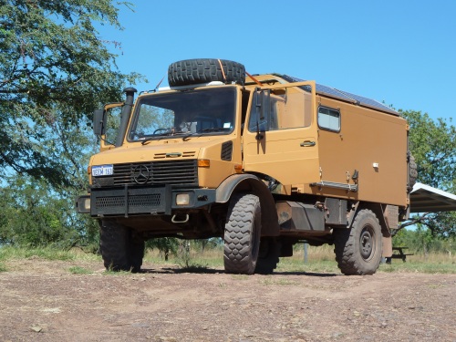
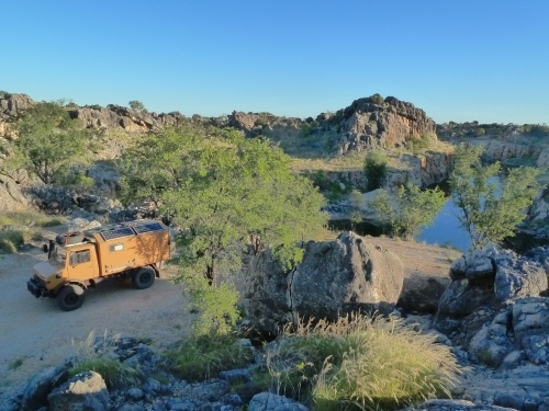
The Unimog at Home Valley Stn
The target for the next day/night is El Questro where, on arrival, we are overwhelmed with the impression (and prices) of a tourist trap and met with inhospitable and dumb reception staff. Departing promptly we moved on to the Mambi Island free camp spot along the lower Ord River. A great overnight spot.
Mambi – Ord River
With the GRR now behind us the prospect of turning back towards Perth is looming somewhat depressingly. We are still very much enjoying both the trip and the Kimberley area.
Part 3 – Back towards Perth
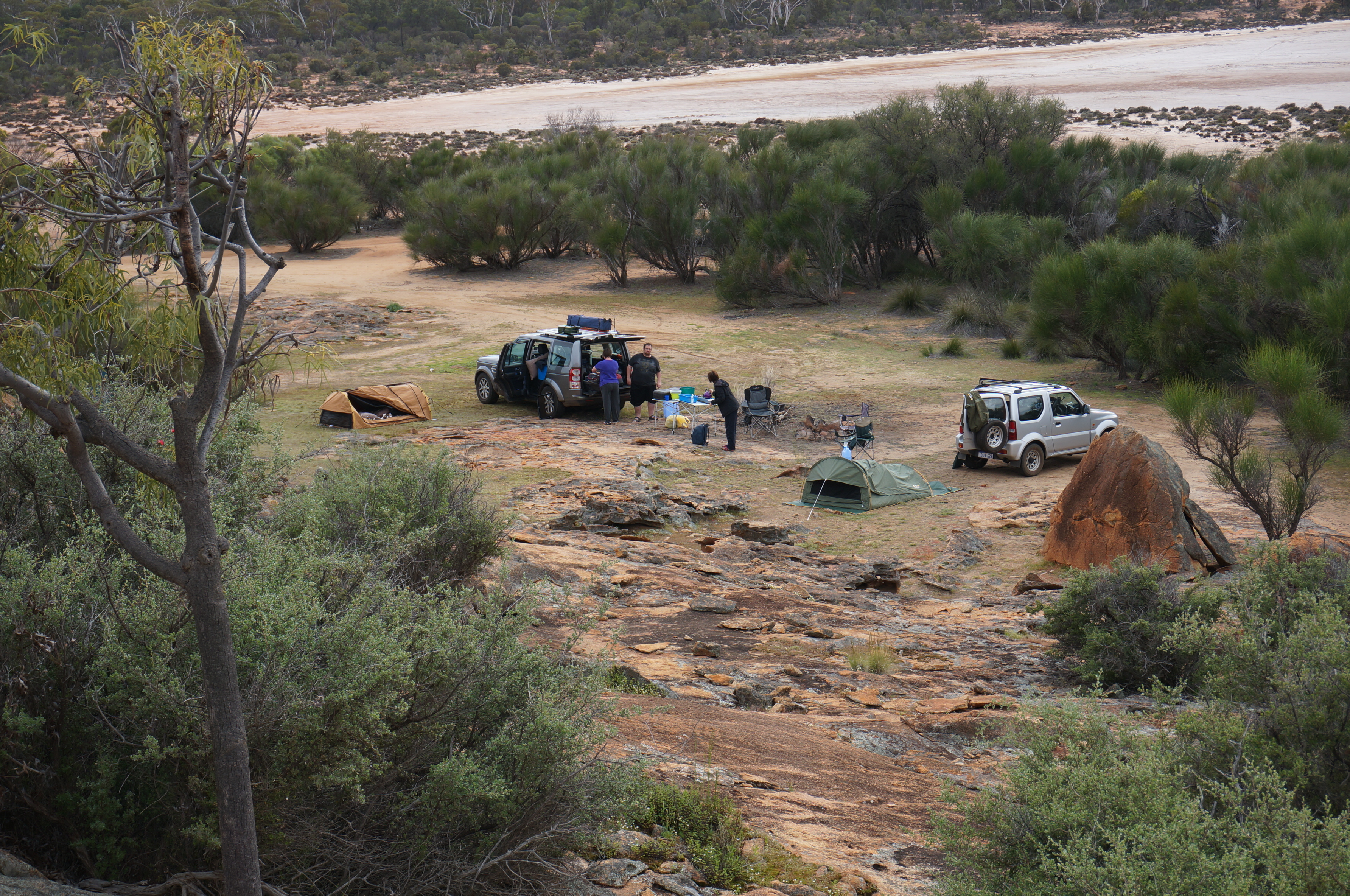
Restocking in Kununurra, easy for food but quite a challenge for BWS with the prevailing liquor restrictions upnorth. Overnights were predominantly roadside free camping at Mary’s Pool, Oscar Range Mine, Quandong point, 80 Mile Beach, Wild Dog Crk, Gascoyne River and Payne’s Find Camp.
Kununurra – Kimberleyland
Mary’s Pool
Oscar Range Mine
Oscar Range Mine #2
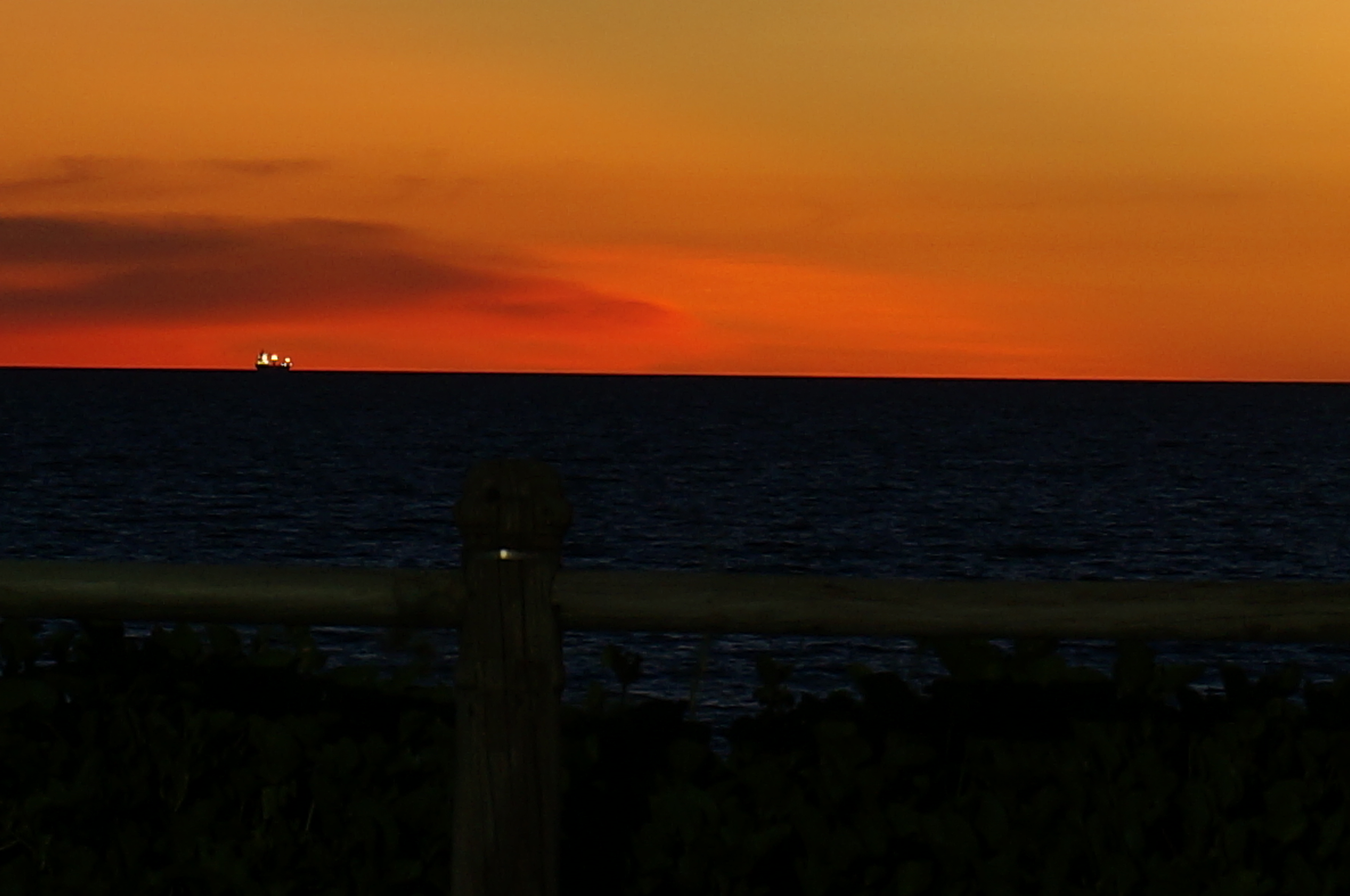
Quandong Point – Broom
Classic Finish
Stats
- Travel distance: 7,300 km
- Avg distance/pd: 260 km (longest day was 670 km, shortest 60 km)
- Cruise speed (asphalt): 85/90 kph
- Food: $37 pd (2 people)
- BWS: $ 34 pd
- Fuel: $ 102 pd
- Accommodation: $ 17 pd
The truck
- No issues of significance.
- Dustproofing the rear doors will be a challenge!
Observations
- Our timing for the GRR was perfect, nice and quiet at the start of the season.
- Road conditions along the GRR was much better that reported (being early in the season has it advantageous)
- We met quite a few long-term travellers (2 to 5 years+) either already done or planning to.
- Nearly all the staff we met at the Stations were seasonal workers – from many different nationalities.
- Most of the travellers we met were Australian, either travelling single vehicle or at most two.
- Oldest traveller met along the GRR was a 84 year old sheep farmer (still actively farming) being shown the area by his daughter – they were tenting (in really small tents). I was in awe/impressed.
- The Wilderness Lodge near Mitchell’s Falls must be raking in the money – judging from the lodge traffic between there and the MF campground.
- El Questro pissed us off but I guess we will have to go back…, it is a worthwhile destination.
- Its a long way from (and back to) Perth.
- We will enjoy this type of travelling for continuous durations that can be measured in months…, years…
More photos (~100) can be found here.
oooOOOooo